This icon is used to emphasize that the destination/experience you are looking has sustainable features.
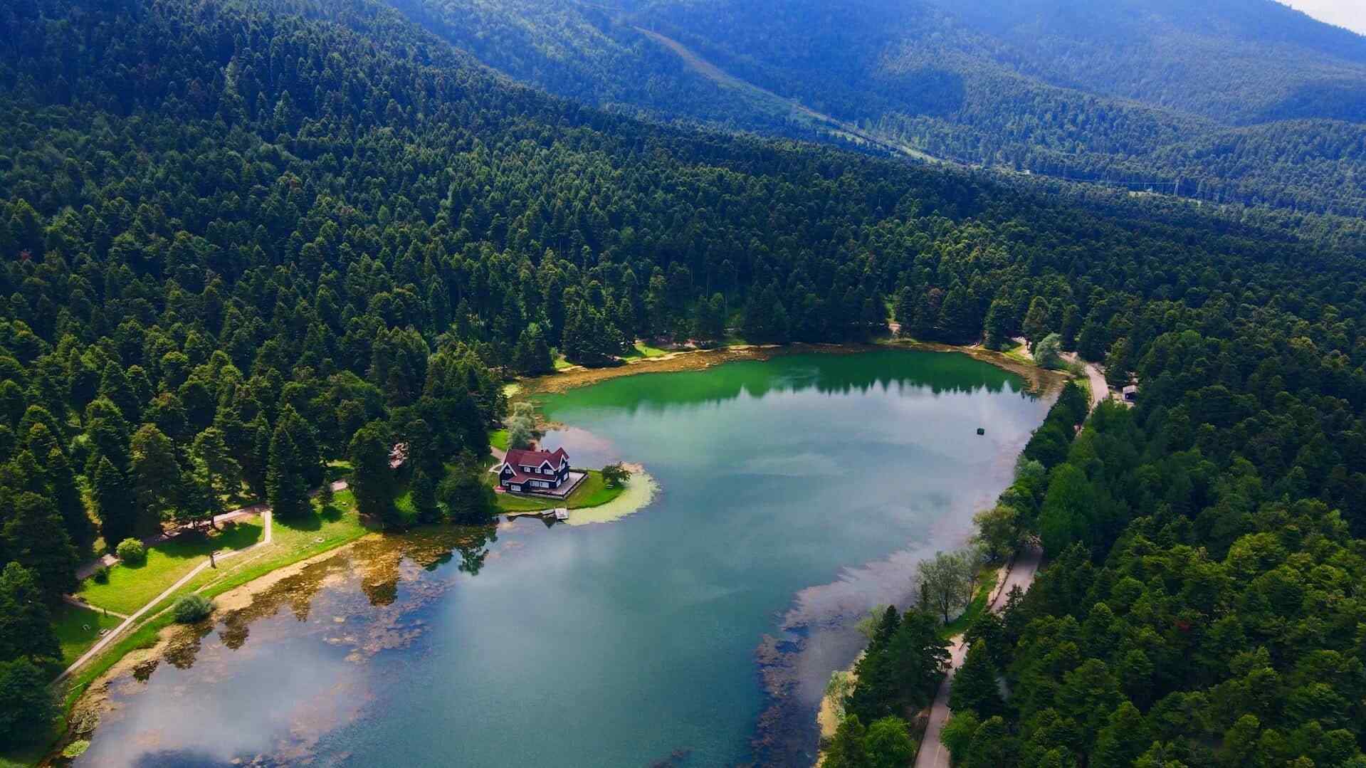
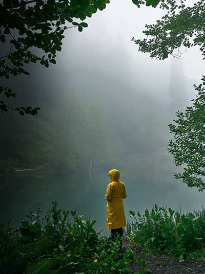
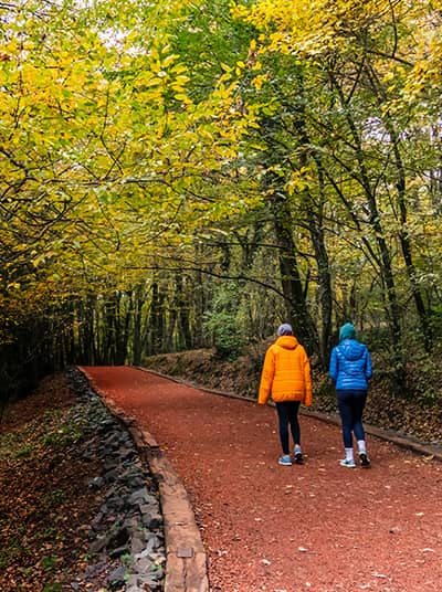
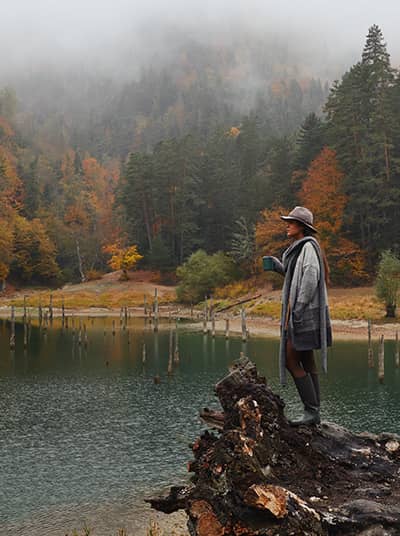
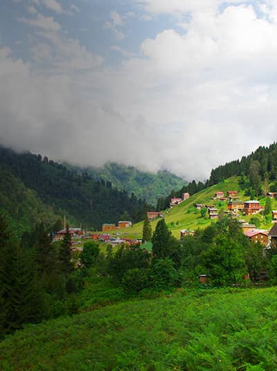
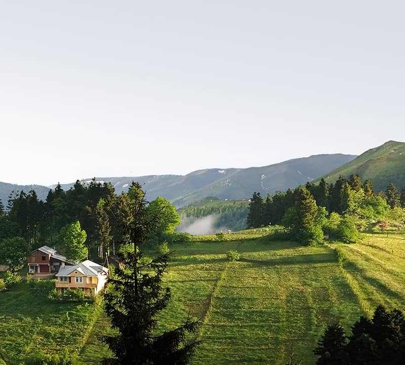
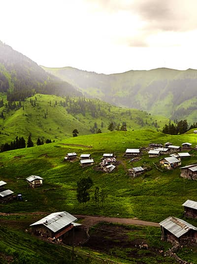
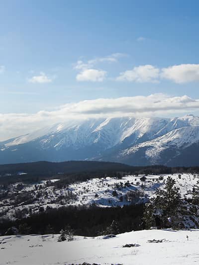
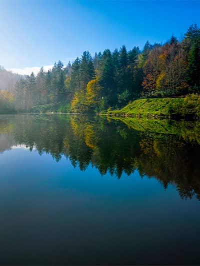
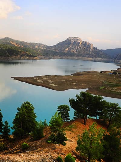
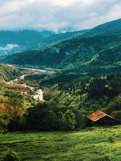
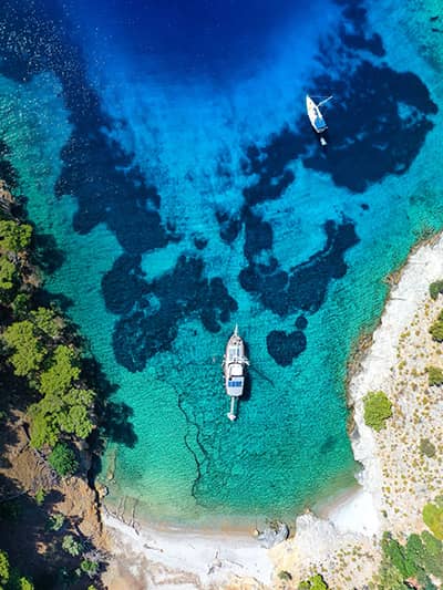
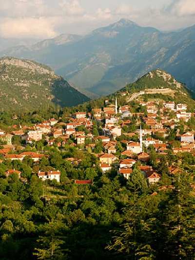
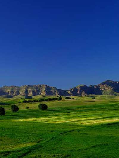
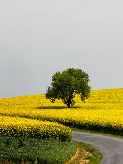
Become an explorer of Türkiye's magnificant nature!
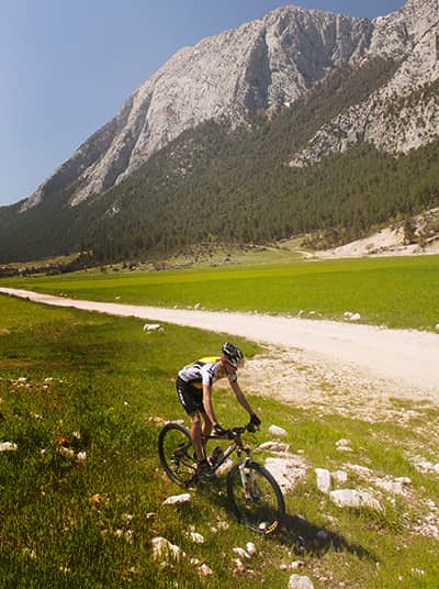
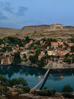
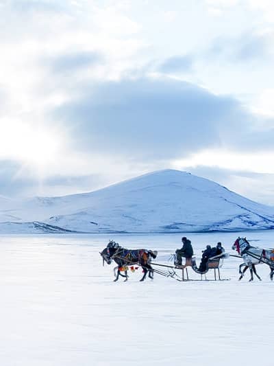
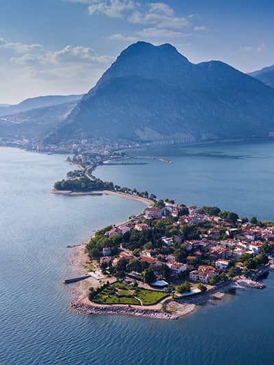
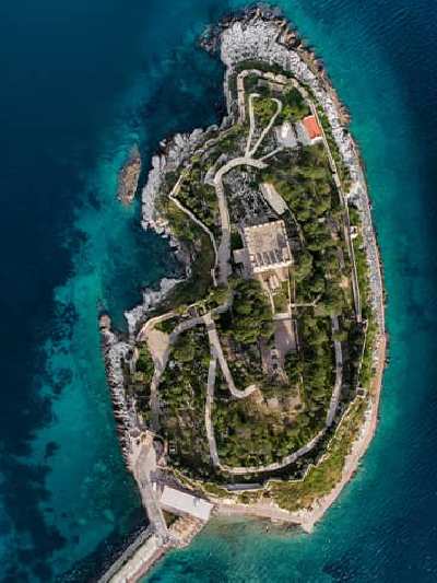
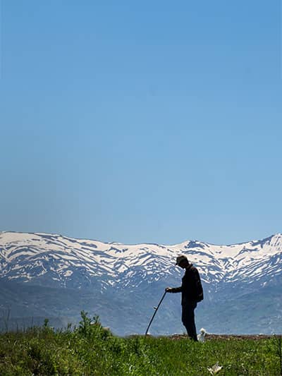
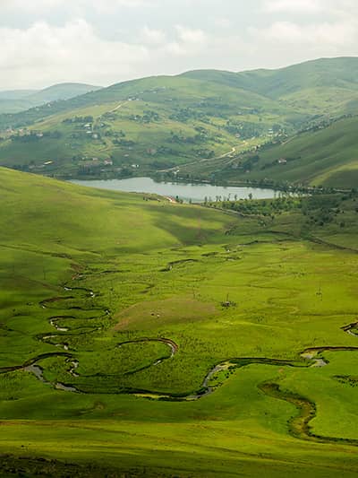
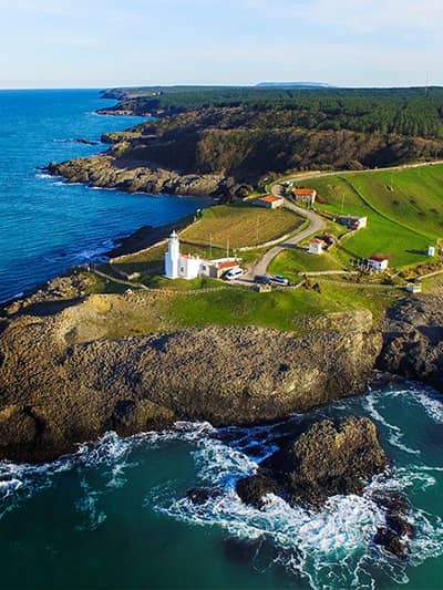
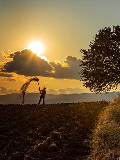
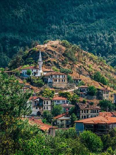
Track down Türkiye's hidden routes!
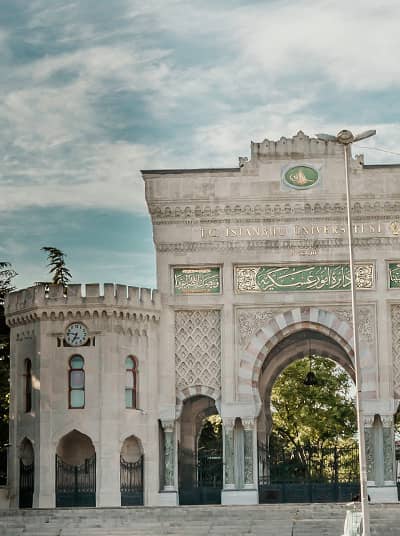
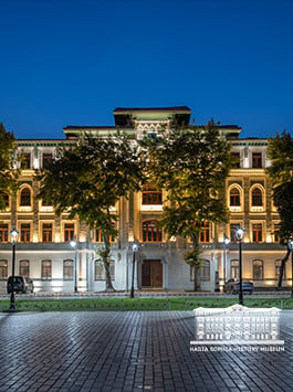
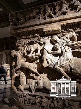
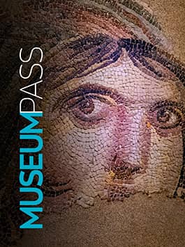
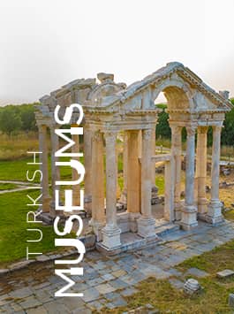
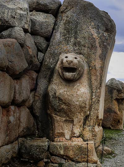
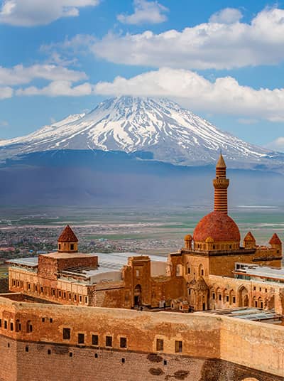
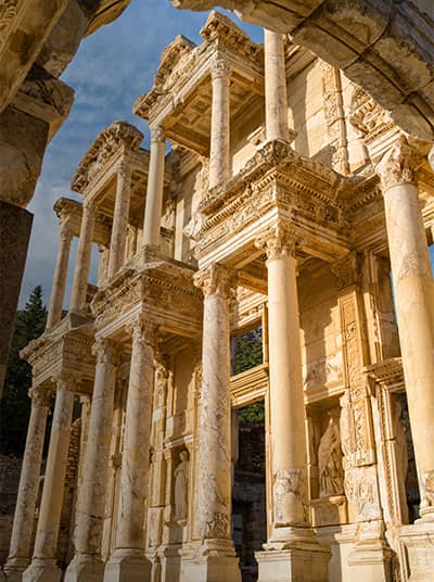
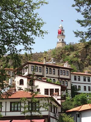
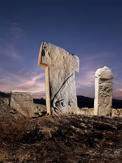
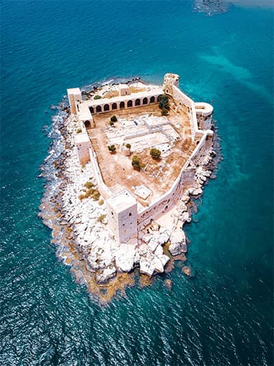
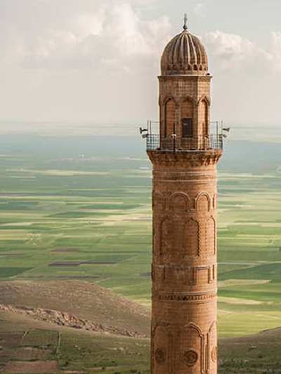
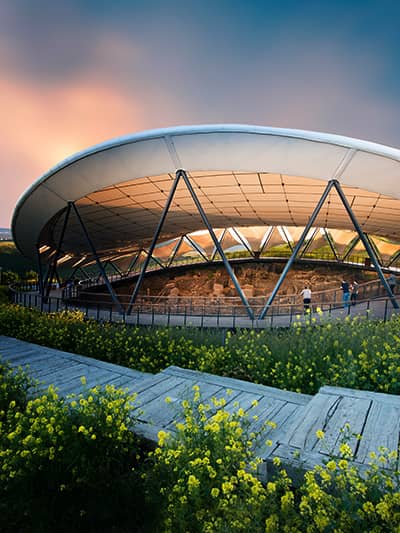
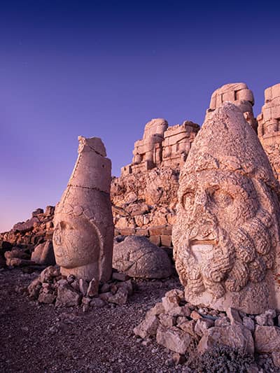
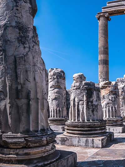
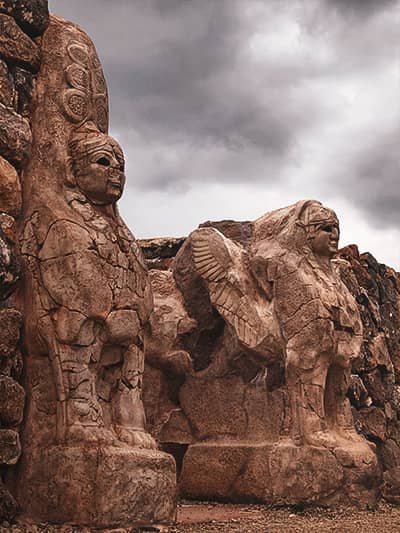
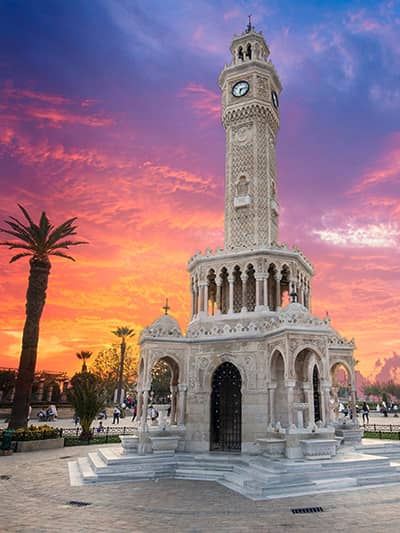
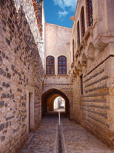
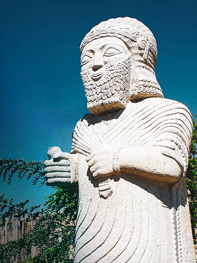
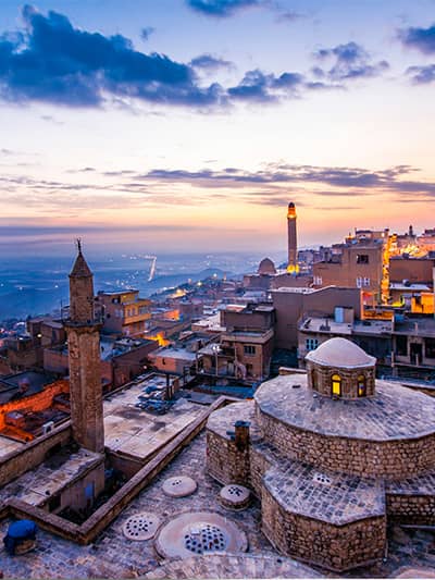
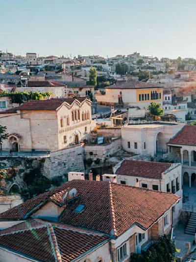
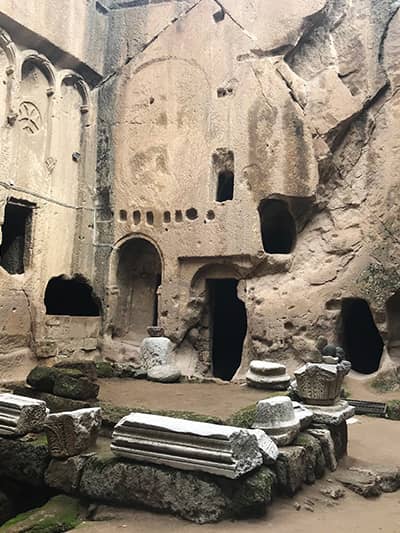
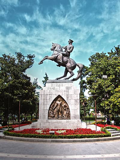
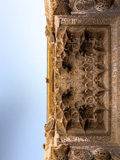
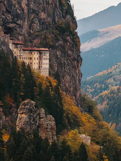
Discover timeless cultural heritage of Türkiye!
Turn all your moments into memories with Türkiye's unforgettable events!
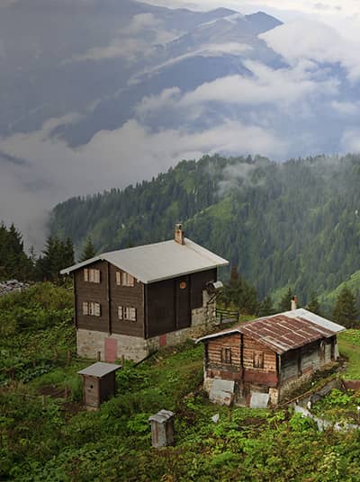
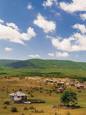
Make responsible choices while travelling Türkiye!
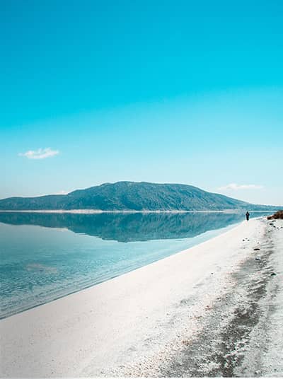
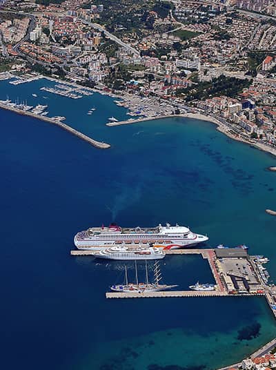
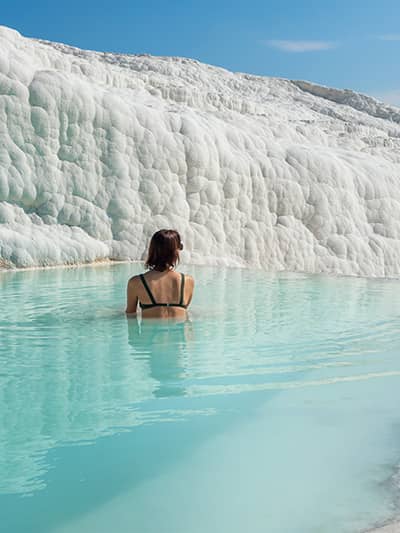
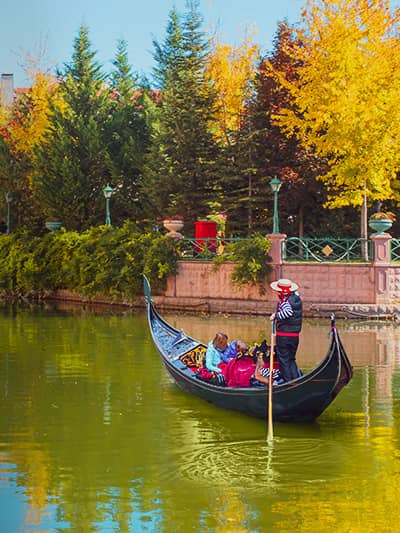
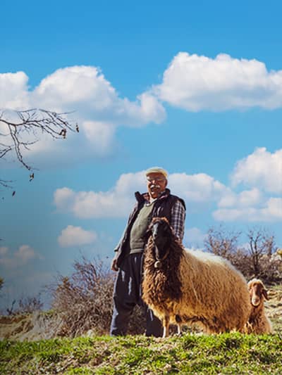
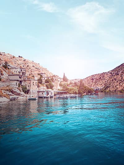
Get inspired by the unique experiences of Türkiye!
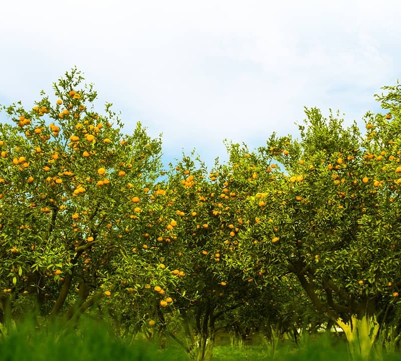
The best part of travelling is to be able to buy locally made products and souvenirs for your loved ones or yourself. Bodrum's mandarin, Erzurum's molasses Baklava dessert, and Bartın's wire-breaking handicrafts, and more are here to discover.
Türkiye’s Sustainable Tourism Program was developed in a collaboration with GSTC in 2022. It aims to place Türkiye among the best sustainable tourism destinations around the world, by reducing pollution, protecting marine life and unique species.
Türkiye cares about the environment and shows it via numerous green projects to protect the world from the negative impacts of tourism. Click to find out more about the environmentally friendly projects and programs implemented in Türkiye.
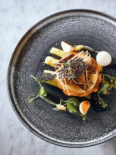
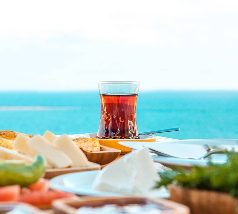
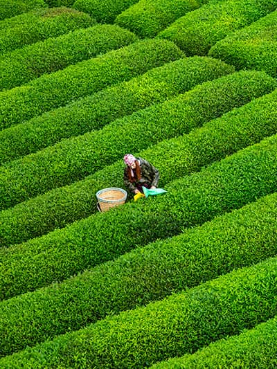
Taste culinary masterpieces of Türkiye!